Adam Cummins

Open Space Planner

I have a profound interest in the importance of open space and the role of well-designed places in creating a vibrant, diverse and resilient society. With a skill set that exists at the intersection of sport and recreation, urban design and business development, I understand the challenges in this space and aim to provide solutions in a way that is sincere and valuable for all parties. My colleagues would describe me as patient, resourceful and able to stay calm and focused in a high pressure, rapidly evolving environment. Currently, I’m seeking opportunities that will allow me to design, develop or influence urban environments with a focus on community-led initiatives that achieve positive social outcomes.

Responsible for final review of Waverley Park Plan of Management prior to leading the Public Exhibition process, collating submissions and reporting back to Council and Crown Lands. Waverley Park Plan of Management is expected to be adopted by Council in August 2023. Planning

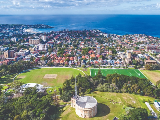
Waverley Park Master Plan Public Exhibition

Master of Planning thesis addressing the question: Could public-private partnerships be effective in addressing public open space shortages in Sydney? Currently in progress - due December 2023. Planning

Public-private partnerships in open space planning

Instigated RFQ process and led evaluation panel to appoint a consultant capable of collaborating on a heritage study of Waverley Council's Coastal Reserves Procurement

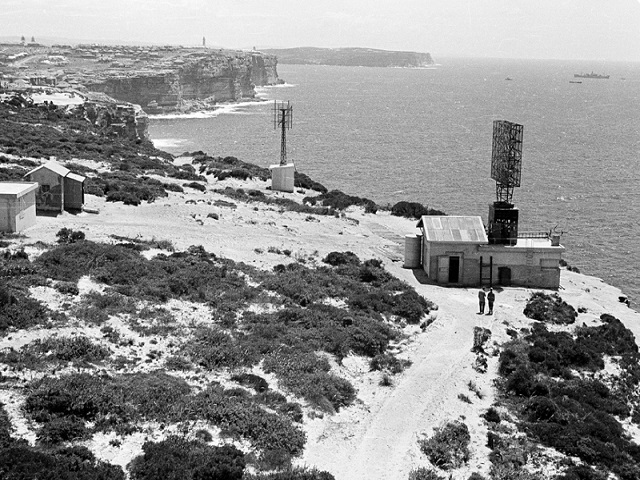
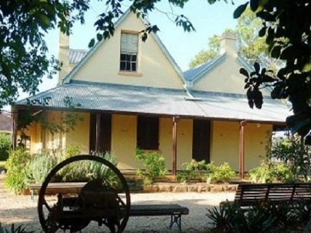
Coastal Reserves Heritage Study

Led project from inception meeting to delivery of draft master plan, managing urban design and community engagement consultants as well as internal Council stakeholders. Planning

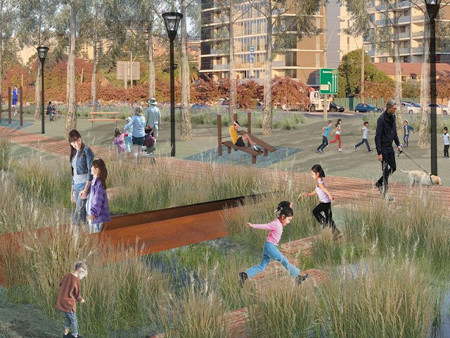
Cabramatta & Brickmakers Creeks Master Plan

Led tender process to select a successful project team for the delivery of a culturally significant First Nations project - Collingwood Precinct. Procurement

Collingwood Precinct Master Plan

Wrote a 16 page business case and feasibility study into the re-location of Casula Parklands Dog Park due to increased flooding along the Georges River. Planning

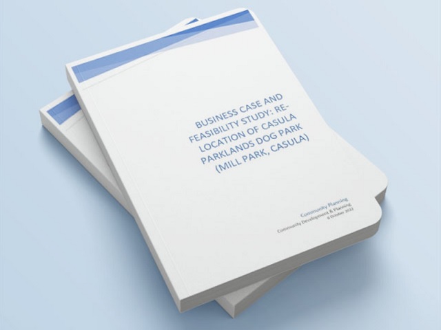
Re-location of Casula Parklands Dog Park

Sourced grant funding and project managed extension to slab, replacement of posts and chain link netting, full replacement of synthetic turf in multiple colours and rubber backstop mat to minimise damage to nets. Infrastructure

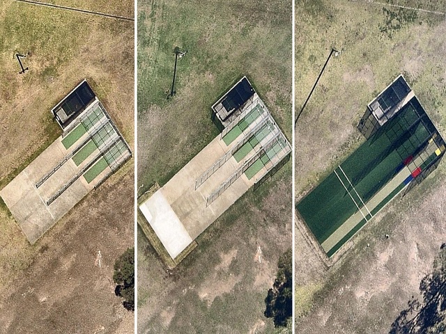
Gannons Park Cricket Nets Restoration Project

Led tender process and implementation of Management Agreements for Vanessa Street Multi-Sport Courts, Peakhurst Park, Poulton Park and Penshurst Park synthetic fields and amenities blocks. Procurement

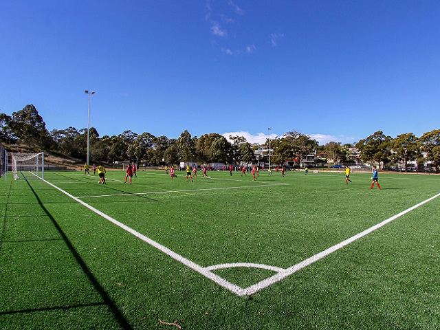
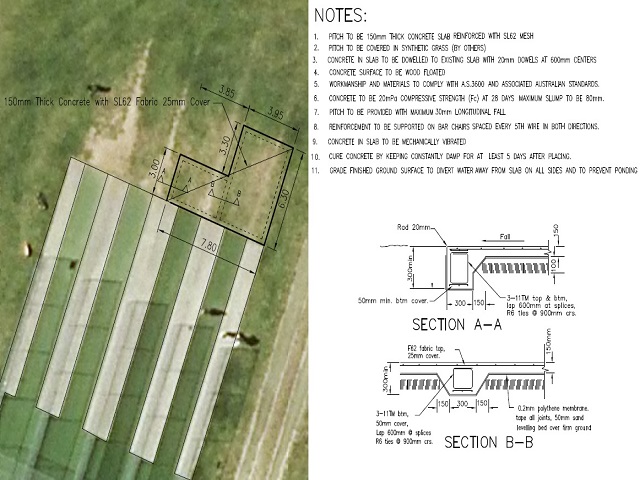
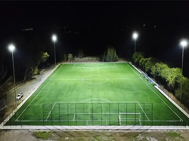
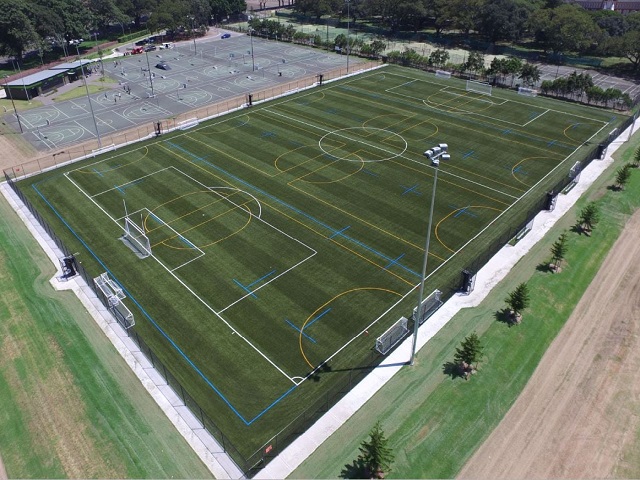
Synthetic Sports Fields Management Agreements

Sourced grant funding and project managed extension to slab, replacement of posts and chain link netting, full replacement of synthetic turf in multiple colours and rubber backstop mat to minimise damage to nets. Infrastructure

Olds Park Cricket Nets Restoration Project

Secured funding and project managed roll out of SMS operated sports lighting across the local government area - including maps, manuals, after hours troubleshooting and administration of the online portal. Infrastructure

Automated Sports Lighting Installation Project

Contributed data on quantity, distribution and utilisation of Council's open space, recreation and community facilities as well as historical and user group information to support the development of the strategy. Data

Open Space, Recreation & Community Facilities

Led the tender submission for a 5-a-side Football program with the NSW Government Office of Environment & Heritage, generating a new revenue stream for the Eastern Suburbs Football Association. Procurement

5-a-side Summer Football Program

Contributed utilisation data and assessment of sport and recreation assets for Hurstville Oval and Timothy Reserve to support the development of the precinct Master Plan. Data

Hurstville Oval Plan of Management

Created a series of thematic maps using ARCGIS mapping software suite to highlight land usage in a local government area including tree coverage and population density. Maps

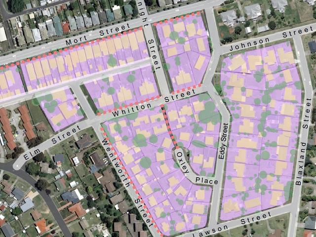
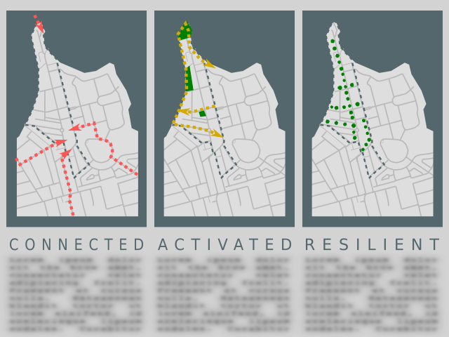
Geospatial Analysis and Mapping for Land Use Planning

Created a series of graphical maps using the open source software Inkscape for the purpose of urban design analysis. Maps

Urban Design Analysis Imagery

×